A mountain with easy hiking courses, to provide snowy scenery in Osaka.
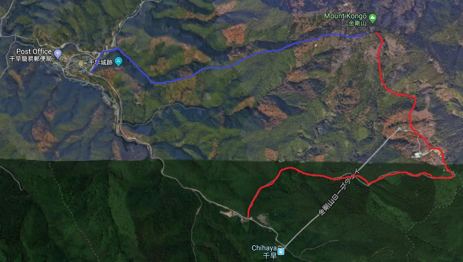
Mt. Kongo, the tallest mountain in Osaka (altitude: 1,125 meters), is located in the borders of Nara and Osaka. There is one of the easier hiking courses, so many people of all ages come here for a hike all year round. The hiking trail (Red route on the map) starts just before the ropeway station to the submit about 4 km and takes 90 mins.
There are nicely arranged log stairs, clear signs and trails all the way to the summit. That makes your hike less difficult. Near the top are Katsuragi Shrine and Temporin-ji Temple which opened more than 1,300 years ago. There is also the ruin of Chihaya Castle. Another hiking trail (Blue route on the map) start from this point (about 3 km to the submit). At the end of the hike , you will be rewarded with a great view for sure.
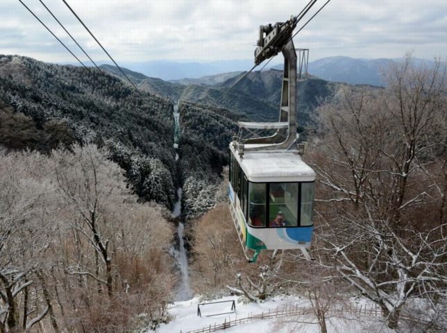
You can still enjoy Mt. Kongo by a rope-way cable car, even if you don’t like hiking.

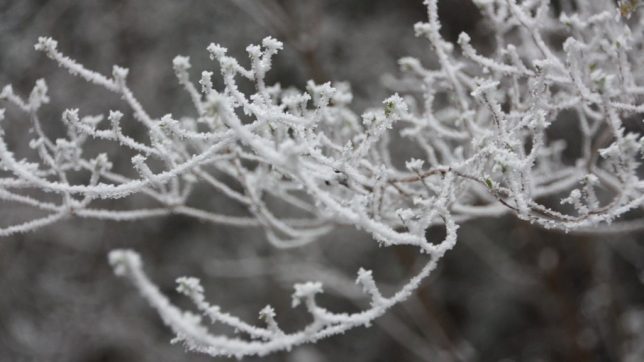
During winter Mt. Kongo is covered in snow. In February, beautiful scenery of juhyo (trees glazed with ice) can be seen. You can check the weather conditions with a live camera if you want to see snow scenery. Actually the website is only in Japanese but you can easily tell conditions on the website.
You’d better bring some spikes for your hiking shoes during the winter season as the grounds might be icy-covered or Just take a rope-way cable car to the top, there will be just snow in the higher grounds of the mountain.


How to get to Mt. Kongo
Access by Nankai railways :
①Take the Nankai line from Namba station (Osaka) to Kawachinagano station.
②Take the Nankai bus and go to Kongo Tozan Guchi bus stop (金剛登山口) (about 35-minute bus ride) for the start point of the hiking, or to the last stop,Chihara Rope-way bus stop (千早ロープウェイ前バス停)(about 40-minute ride) for the rope-way cable car station.
Access by Kintetsu railways :
①Take the Kintetsu Nagano line to Tondabayashi station.
②Take the Kongo bus to Chihaya Rope-way mae.
Those buses run only 1 or 2 an hour from 7 a.m to 18:00 p.m.